







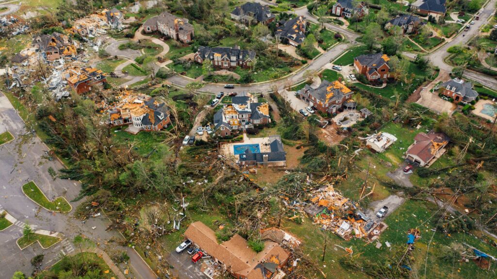
Severe Storms Forecasted for the Midwest
On June 17, a significant weather event is anticipated across parts of the U.S. Midwest. The National Oceanic and Atmospheric Administration’s (NOAA) Storm Prediction Center has issued a warning indicating a moderate risk for severe weather, raising concerns about the potential for tornadoes, large hail, and damaging winds.
Areas of Concern
The regions most likely to experience severe conditions include:
- Springfield, Illinois
- Peoria, Illinois
- Lafayette, Indiana
This moderate risk level, rated at 4 out of 5, suggests a heightened chance of severe storms affecting around 2 million residents. Forecasters predict wind gusts exceeding 75 mph (120 km/h), hailstones larger than 2 inches (5 cm), and tornadoes potentially reaching EF3 strength on the Enhanced Fujita Scale.
Wider Impact and Additional Risks
Beyond the moderate risk zones, a level 3 enhanced risk encompasses over 13 million individuals in major cities such as:
- Chicago, Illinois
- Indianapolis, Indiana
- Fort Wayne, Indiana
- St. Louis, Missouri
Forecasters expect a volatile atmosphere, primarily due to a fast-moving weather system known as a clipper, which interacts with warm, humid air at the surface. This combination is likely to foster the development of severe storms, particularly in the early to mid-afternoon hours.
Potential for Flash Flooding in the Gulf Coast
In addition to the severe weather in the Midwest, the Gulf Coast braces for heavy rainfall as a system that could evolve into Tropical Storm Arthur approaches. Southern Texas is particularly at risk for flash flooding due to the anticipated downpours.
Residents in both affected regions are advised to stay vigilant, monitor local weather updates, and prepare for possible severe weather impacts throughout the day.
Sursă imagine reprezentativă: K pe Pexels
Sursa originală de inspirație a articolului: Vezi aici